An Bhearu River Barrow
The River Barrow, historically a significant highway, was developed as a commercial navigation in the mid seventeen hundred and Graignamanagh served as the main base for commercial barges operating on the river until barge traffic ceased in 1959.
The River Barrow is a bustling, colorful navigation. The river runs for 192 km from its source in Glenbarrow in the Slieve Bloom Mountains in the midlands of Ireland to the sea. The Barrow has long been recognized as a unique area of great natural beauty with high amenity value, traversing the counties of Laois, Kildare, Carlow, Kilkenny and Wexford. The Barrow Navigation is the stretch of the River Barrow between Athy in Co. Kildare and St. Mullins in Co. Carlow. Above Athy, the Barrow Line of the Grand Canal links the Barrow Navigation to the main line of the Grand Canal at Lowtown in Co. Kildare. From there the Grand Canal crosses the country west to the River Shannon, Ireland's longest waterways network and east to Dublin.
The Barrow Navigation is the stretch of the River Barrow between Athy in Co. Kildare and St. Mullins in Co. Carlow. Above Athy, the Barrow Line of the Grand Canal links the Barrow Navigation to the main line of the Grand Canal at Lowtown in Co. Kildare, facilitating access to Ireland's extensive waterways network.
Traveling along the Barrow Line of the Grand Canal is a tranquil experience, with a wealth of waterway heritage and history to be enjoyed. The Barrow Navigation offers a different experience for the visitor being remarkably picturesque, with short man-made canal cuts bypassing shallow stretches of the river.
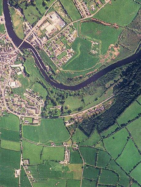
It is a bustling river with a wealth of activities for visitors to enjoy — from walking or cycling along the unspoiled Barrow Towpath to spotting herons and kingfishers along its banks and engaging in fishing, boating, and canoeing. The River Barrow is navigable south to Saint Mullins where it merges with tidal waters, linking with the River Nore and leading to New Ross and the open sea. Northwards, it connects with the Grand Canal at Lowtown, Co. Kildare.
Exploring the River Barrow
Exploring the River Barrow offers visitors an opportunity to immerse themselves in the stunning landscapes and rich biodiversity. As you stroll along the banks or navigate the waters, you may encounter an array of flora and fauna that make this river one of Ireland's most cherished natural assets.
Local fishing competitions and canoeing events are frequently held on the River Barrow, promoting community engagement and conservation of this remarkable waterway. Whether you're a seasoned angler or a beginner, the diverse aquatic life along the river offers an exciting experience.

George Semple Bridge
A stone bridge existed on the site of the present bridge before 1641. Following their retreat to Graignamanagh after the battle of Ballinvegga in 1643, general Thomas Preston's Confederate troops demolished part of that bridge to prevent the English from crossing the river into Graigue, which the Confederate Army was defending.
Some 120 years later, the “great flood” of 1763 probably destroyed the bridge. The present bridge, built in 1767, was built to the design of George Smith, a pupil of George Semple, though it has traditionally been attributed to the master himself, making it of national architectural importance.
During the 1798 Rebellion, the Crown forces blew up the arch of the bridge nearest the County Carlow side of the River Barrow to prevent the Wexford rebels from entering County Kilkenny. In this way, they echoed the destruction of the previous bridge by the Confederate Army 145 years earlier.